Bent Spur Road
Introduction
The photograph on this page of Bent Spur Road by Bill Boaden as part of the Geograph project.
The Geograph project started in 2005 with the aim of publishing, organising and preserving representative images for every square kilometre of Great Britain, Ireland and the Isle of Man.

There are currently over 7.5m images from over 14,400 individuals and you can help contribute to the project by visiting https://www.geograph.org.uk
Bent Spur Road
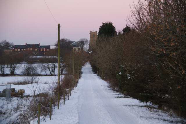
Image: © Bill Boaden Taken: 24 Dec 2010
This runs from Manor Golf Club and an unnamed farm to join the A666 by St Stephen's Church in Kearsley Moor.
Images are licensed for reuse under creativecommons.org/licenses/by-sa/2.0
Image Location
Latitude
53.534582
Longitude
-2.375337