Frankwell Street
Introduction
The photograph on this page of Frankwell Street by Penny Mayes as part of the Geograph project.
The Geograph project started in 2005 with the aim of publishing, organising and preserving representative images for every square kilometre of Great Britain, Ireland and the Isle of Man.

There are currently over 7.5m images from over 14,400 individuals and you can help contribute to the project by visiting https://www.geograph.org.uk
Frankwell Street
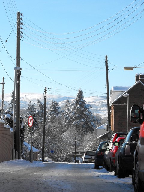
Image: © Penny Mayes Taken: 25 Dec 2010
The local cable relay station is to the right, out of shot, which may explain the number of overhead wires in this shot. The Long Bridge is just visible at the far end of the street.
Images are licensed for reuse under creativecommons.org/licenses/by-sa/2.0
Image Location
Latitude
52.51793
Longitude
-3.315538