Bridlington Lane
Introduction
The photograph on this page of Bridlington Lane by Alan Murray-Rust as part of the Geograph project.
The Geograph project started in 2005 with the aim of publishing, organising and preserving representative images for every square kilometre of Great Britain, Ireland and the Isle of Man.

There are currently over 7.5m images from over 14,400 individuals and you can help contribute to the project by visiting https://www.geograph.org.uk
Bridlington Lane
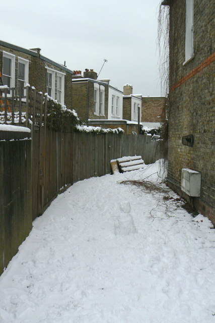
Image: © Alan Murray-Rust Taken: 19 Dec 2010
This is simply the back lane to properties on Temple Road and Weston Road, but a few years ago the local council decided to give names to many such public access alleys as a means of providing identification of locations where fly tipping was common. As far as I am aware, there are no house numbers specific to it.
Images are licensed for reuse under creativecommons.org/licenses/by-sa/2.0
Image Location
Latitude
51.497999
Longitude
-0.271086