Path through the carr
Introduction
The photograph on this page of Path through the carr by Alan Murray-Rust as part of the Geograph project.
The Geograph project started in 2005 with the aim of publishing, organising and preserving representative images for every square kilometre of Great Britain, Ireland and the Isle of Man.

There are currently over 7.5m images from over 14,400 individuals and you can help contribute to the project by visiting https://www.geograph.org.uk
Path through the carr
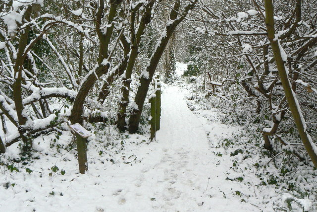
Image: © Alan Murray-Rust Taken: 19 Dec 2010
Despite the small size of the reserve, it includes a significant patch of wetland carr - marshy ground with scrub woodland, particularly of willow. The boardwalk allows it to be crossed dry-shod.
Images are licensed for reuse under creativecommons.org/licenses/by-sa/2.0
Image Location
Latitude
51.493867
Longitude
-0.271386