Heathfield Court
Introduction
The photograph on this page of Heathfield Court by Alan Murray-Rust as part of the Geograph project.
The Geograph project started in 2005 with the aim of publishing, organising and preserving representative images for every square kilometre of Great Britain, Ireland and the Isle of Man.

There are currently over 7.5m images from over 14,400 individuals and you can help contribute to the project by visiting https://www.geograph.org.uk
Heathfield Court
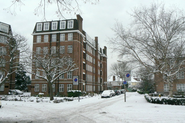
Image: © Alan Murray-Rust Taken: 19 Dec 2010
1930s flats block alongside Turnham Green. The road rejoices in the name of Horticultural Place, a reminder that the Royal Horticultural Society had its gardens here at one time.
Images are licensed for reuse under creativecommons.org/licenses/by-sa/2.0
Image Location
Latitude
51.491156
Longitude
-0.26443