Chiswick High Road
Introduction
The photograph on this page of Chiswick High Road by Alan Murray-Rust as part of the Geograph project.
The Geograph project started in 2005 with the aim of publishing, organising and preserving representative images for every square kilometre of Great Britain, Ireland and the Isle of Man.

There are currently over 7.5m images from over 14,400 individuals and you can help contribute to the project by visiting https://www.geograph.org.uk
Chiswick High Road
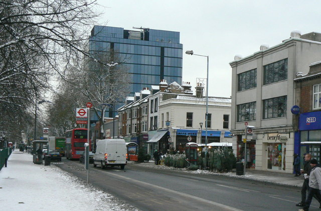
Image: © Alan Murray-Rust Taken: 19 Dec 2010
At this point, rather confusingly, running alongside Turnham Green. The tower block is Empire House, named after the Chiswick Empire Theatre, which it replaced.
Images are licensed for reuse under creativecommons.org/licenses/by-sa/2.0
Image Location
Latitude
51.492603
Longitude
-0.264952