Crown and Anchor, Chiswick High Road
Introduction
The photograph on this page of Crown and Anchor, Chiswick High Road by Alan Murray-Rust as part of the Geograph project.
The Geograph project started in 2005 with the aim of publishing, organising and preserving representative images for every square kilometre of Great Britain, Ireland and the Isle of Man.

There are currently over 7.5m images from over 14,400 individuals and you can help contribute to the project by visiting https://www.geograph.org.uk
Crown and Anchor, Chiswick High Road
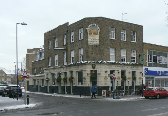
Image: © Alan Murray-Rust Taken: 19 Dec 2010
A former Young's pub, the ground floor is finely decorated with terracotta tiles and panels. These would date from the early 20th century, although the building dates back to a century earlier. Listed Grade II. See http://www.geograph.org.uk/photo/2205438 http://www.geograph.org.uk/photo/2205435 http://www.geograph.org.uk/photo/2205446 for various details.
Images are licensed for reuse under creativecommons.org/licenses/by-sa/2.0
Image Location
Latitude
51.492588
Longitude
-0.263944