Acton Lane Bridge
Introduction
The photograph on this page of Acton Lane Bridge by Alan Murray-Rust as part of the Geograph project.
The Geograph project started in 2005 with the aim of publishing, organising and preserving representative images for every square kilometre of Great Britain, Ireland and the Isle of Man.

There are currently over 7.5m images from over 14,400 individuals and you can help contribute to the project by visiting https://www.geograph.org.uk
Acton Lane Bridge
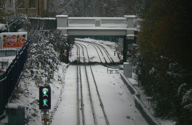
Image: © Alan Murray-Rust Taken: 19 Dec 2010
Crossing the District Line to Richmond. The original alignment (in the foreground) is still used by trains towards Richmond, but the inbound track was altered during the early part of the 20th century to run under the lines towards Ealing to avoid conflicting train movements.
Images are licensed for reuse under creativecommons.org/licenses/by-sa/2.0
Image Location
Latitude
51.493993
Longitude
-0.26778