The Island
Introduction
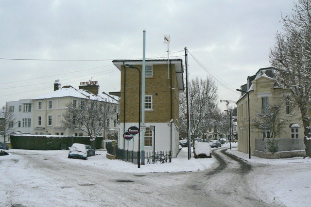
The photograph on this page of The Island by Alan Murray-Rust as part of the Geograph project.
The Geograph project started in 2005 with the aim of publishing, organising and preserving representative images for every square kilometre of Great Britain, Ireland and the Isle of Man.
There are currently over 7.5m images from over 14,400 individuals and you can help contribute to the project by visiting https://www.geograph.org.uk

Image: © Alan Murray-Rust Taken: 19 Dec 2010
Built in the narrow strip of land separating Church Path (right) and Cleveland Road (left). Old maps show that these two roads, although adjacent, had entirely separate carriageways, although they now link up to form what appears as a single street with a median strip. Church path predates the Victorian development in the area.

