Lane near Maerdy Farm
Introduction
The photograph on this page of Lane near Maerdy Farm by Trevor Rickard as part of the Geograph project.
The Geograph project started in 2005 with the aim of publishing, organising and preserving representative images for every square kilometre of Great Britain, Ireland and the Isle of Man.

There are currently over 7.5m images from over 14,400 individuals and you can help contribute to the project by visiting https://www.geograph.org.uk
Lane near Maerdy Farm
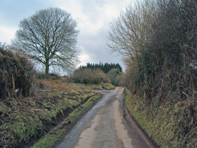
Image: © Trevor Rickard Taken: 10 Mar 2010
Heading south-east with the entrance to a farm track on the left leading to Image
Images are licensed for reuse under creativecommons.org/licenses/by-sa/2.0
Image Location
Latitude
52.036204
Longitude
-3.015169