Road junction on the Adisham Road
Introduction
The photograph on this page of Road junction on the Adisham Road by David Anstiss as part of the Geograph project.
The Geograph project started in 2005 with the aim of publishing, organising and preserving representative images for every square kilometre of Great Britain, Ireland and the Isle of Man.

There are currently over 7.5m images from over 14,400 individuals and you can help contribute to the project by visiting https://www.geograph.org.uk
Road junction on the Adisham Road
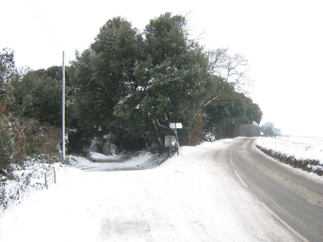
Image: © David Anstiss Taken: 19 Dec 2010
The B2046 Adisham Road (has been cleared of snow) heads right towards Wingham. Wingham Well Lane leads left and down an icy path towards Wingham Well. Compare with Image in Summer.
Images are licensed for reuse under creativecommons.org/licenses/by-sa/2.0
Image Location
Latitude
51.261189
Longitude
1.212793