The Manor House, Riding Mill
Introduction
The photograph on this page of The Manor House, Riding Mill by Les Hull as part of the Geograph project.
The Geograph project started in 2005 with the aim of publishing, organising and preserving representative images for every square kilometre of Great Britain, Ireland and the Isle of Man.

There are currently over 7.5m images from over 14,400 individuals and you can help contribute to the project by visiting https://www.geograph.org.uk
The Manor House, Riding Mill
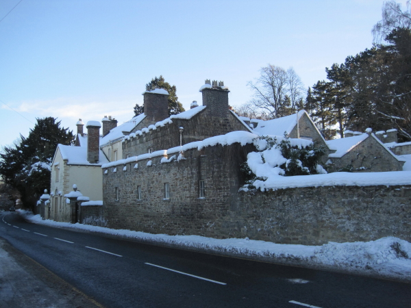
Image: © Les Hull Taken: 8 Dec 2010
The Manor House is building whose late 17th century core has been added to in the 18th and 19th centuries. Parts of the house are built of stone and parts in brick and its structural history is difficult to interpret.. This is a Grade II Listed Building protected by law. http://www.keystothepast.info/durhamcc/K2P.nsf/K2PDetail?readform&PRN=N12775
Images are licensed for reuse under creativecommons.org/licenses/by-sa/2.0
Image Location


Leaflet Map data © OpenStreetMap
Latitude
54.9495
Longitude
-1.979517