Merton Street Oxford
Introduction
The photograph on this page of Merton Street Oxford by Steve Matthews as part of the Geograph project.
The Geograph project started in 2005 with the aim of publishing, organising and preserving representative images for every square kilometre of Great Britain, Ireland and the Isle of Man.

There are currently over 7.5m images from over 14,400 individuals and you can help contribute to the project by visiting https://www.geograph.org.uk
Merton Street Oxford
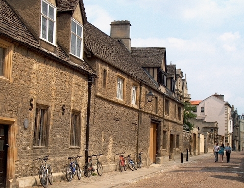
Image: © Steve Matthews Taken: 27 Jun 2005
Merton Street Oxford This first part of Merton Street used to be known as "Coach and Horses Lane" because it was where coaches were parked to serve the Angel, the largest coaching inn in Oxford, just round the corner in the High Street.
Images are licensed for reuse under creativecommons.org/licenses/by-sa/2.0
Image Location


Leaflet Map data © OpenStreetMap
Latitude
51.745841
Longitude
-1.255459