Path from Millburn Muir
Introduction
The photograph on this page of Path from Millburn Muir by Lairich Rig as part of the Geograph project.
The Geograph project started in 2005 with the aim of publishing, organising and preserving representative images for every square kilometre of Great Britain, Ireland and the Isle of Man.

There are currently over 7.5m images from over 14,400 individuals and you can help contribute to the project by visiting https://www.geograph.org.uk
Path from Millburn Muir
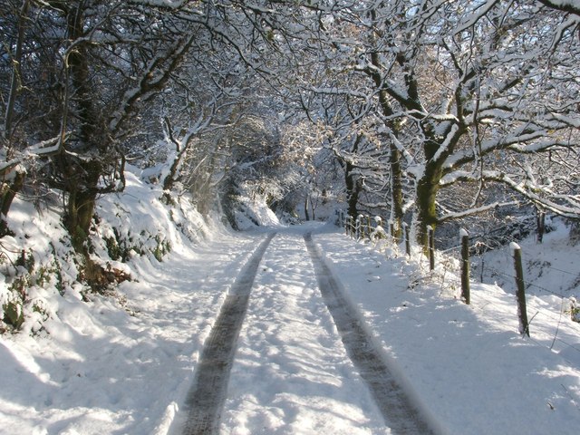
Image: © Lairich Rig Taken: 30 Nov 2010
This is the part of the route that was shown in Image, but it is viewed here in the opposite direction (for example, the same trees can be seen in both images).
Images are licensed for reuse under creativecommons.org/licenses/by-sa/2.0
Image Location
Latitude
55.980425
Longitude
-4.589518