Warning sign, Beachley coastal path
Introduction
The photograph on this page of Warning sign, Beachley coastal path by Jaggery as part of the Geograph project.
The Geograph project started in 2005 with the aim of publishing, organising and preserving representative images for every square kilometre of Great Britain, Ireland and the Isle of Man.

There are currently over 7.5m images from over 14,400 individuals and you can help contribute to the project by visiting https://www.geograph.org.uk
Warning sign, Beachley coastal path
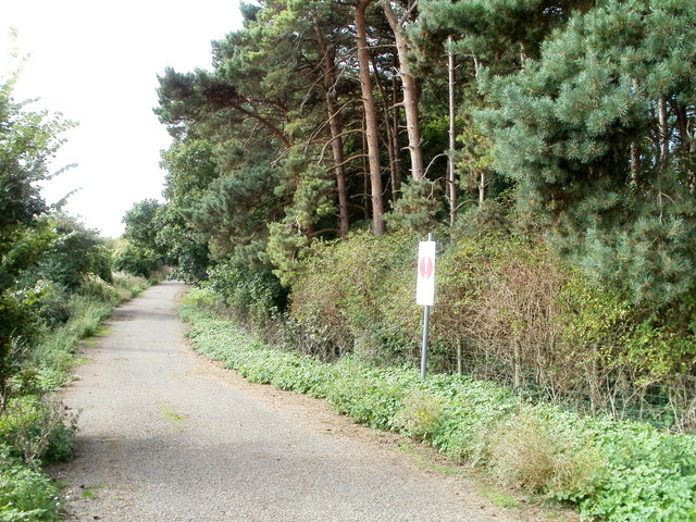
Image: © Jaggery Taken: 17 Sep 2010
The coastal path runs along the fenced-off southern perimeter of Beachley Barracks. The signs notifies walkers that this is MoD (Ministry of Defence) land and to keep to the path.
Images are licensed for reuse under creativecommons.org/licenses/by-sa/2.0
Image Location
Latitude
51.611521
Longitude
-2.651264