Landside view of rescue station, Beachley
Introduction
The photograph on this page of Landside view of rescue station, Beachley by Jaggery as part of the Geograph project.
The Geograph project started in 2005 with the aim of publishing, organising and preserving representative images for every square kilometre of Great Britain, Ireland and the Isle of Man.

There are currently over 7.5m images from over 14,400 individuals and you can help contribute to the project by visiting https://www.geograph.org.uk
Landside view of rescue station, Beachley
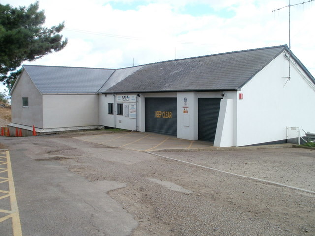
Image: © Jaggery Taken: 17 Sep 2010
The building is owned by SARA (Severn Area Rescue Association). http://www.geograph.org.uk/photo/2202443
Images are licensed for reuse under creativecommons.org/licenses/by-sa/2.0
Image Location
Latitude
51.612428
Longitude
-2.649832