Former Council Offices
Introduction
The photograph on this page of Former Council Offices by Oast House Archive as part of the Geograph project.
The Geograph project started in 2005 with the aim of publishing, organising and preserving representative images for every square kilometre of Great Britain, Ireland and the Isle of Man.

There are currently over 7.5m images from over 14,400 individuals and you can help contribute to the project by visiting https://www.geograph.org.uk
Former Council Offices
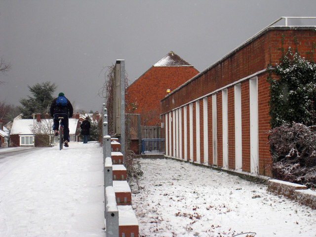
Image: © Oast House Archive Taken: 17 Dec 2010
Wheatfield Drive is to the left. Public access was off High Street and staff access off Joyce Close.
Images are licensed for reuse under creativecommons.org/licenses/by-sa/2.0
Image Location
Latitude
51.095144
Longitude
0.528067