Dornberg Close
Introduction
The photograph on this page of Dornberg Close by Stephen Craven as part of the Geograph project.
The Geograph project started in 2005 with the aim of publishing, organising and preserving representative images for every square kilometre of Great Britain, Ireland and the Isle of Man.

There are currently over 7.5m images from over 14,400 individuals and you can help contribute to the project by visiting https://www.geograph.org.uk
Dornberg Close
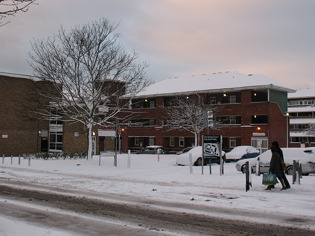
Image: © Stephen Craven Taken: 18 Dec 2010
The Close is the building in the background: a block of social housing set back from Old Dover Road. The photo was taken just after 5cm of snow had fallen.
Images are licensed for reuse under creativecommons.org/licenses/by-sa/2.0
Image Location
Latitude
51.477036
Longitude
0.021895