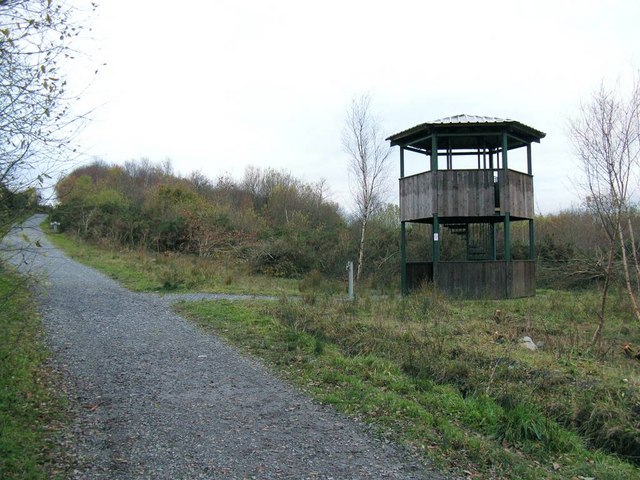
Viewing Tower in Allt Nant-y-Ci Recreation Park
Introduction
The photograph on this page of Viewing Tower in Allt Nant-y-Ci Recreation Park by Nigel Davies as part of the Geograph project.
The Geograph project started in 2005 with the aim of publishing, organising and preserving representative images for every square kilometre of Great Britain, Ireland and the Isle of Man.
There are currently over 7.5m images from over 14,400 individuals and you can help contribute to the project by visiting https://www.geograph.org.uk

Image: © Nigel Davies Taken: 21 Nov 2010
Disused land has been turned into a small park through the addition of pathways, bridges and some structures. The major path visible in the shot is a former railway to an old shaft marked 1Km west up hill on the map. This path is now a bridleway running through the park from the entrance and carpark to the east.

