Field by Droridge Lane
Introduction
The photograph on this page of Field by Droridge Lane by Derek Harper as part of the Geograph project.
The Geograph project started in 2005 with the aim of publishing, organising and preserving representative images for every square kilometre of Great Britain, Ireland and the Isle of Man.

There are currently over 7.5m images from over 14,400 individuals and you can help contribute to the project by visiting https://www.geograph.org.uk
Field by Droridge Lane
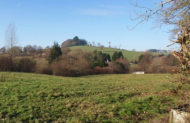
Image: © Derek Harper Taken: 14 Dec 2010
A view from a gateway towards the A385 (which the lorry is on). The thatched roof belongs to Yarner Barn, and behind rises Yarner Beacon, straddling Image and Image
Images are licensed for reuse under creativecommons.org/licenses/by-sa/2.0
Image Location
Latitude
50.443368
Longitude
-3.716705