Path to Vale of Leven Cemetery
Introduction
The photograph on this page of Path to Vale of Leven Cemetery by Lairich Rig as part of the Geograph project.
The Geograph project started in 2005 with the aim of publishing, organising and preserving representative images for every square kilometre of Great Britain, Ireland and the Isle of Man.

There are currently over 7.5m images from over 14,400 individuals and you can help contribute to the project by visiting https://www.geograph.org.uk
Path to Vale of Leven Cemetery
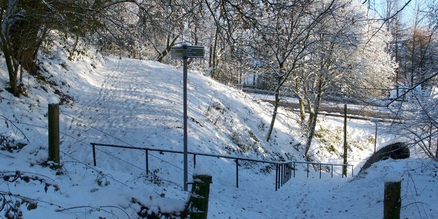
Image: © Lairich Rig Taken: 30 Nov 2010
A Image passes through an Image, and then ascends to the point from which the present photograph was taken. The dual carriageway (A82) can be seen in the background. As mentioned at the first of the above links, the path to the cemetery then turns to head north; it is shown here in the left-hand side of the image. The sign pointing along that route reads "Path / Vale of Leven Cemetery / 250 yds". The one pointing back downhill reads "Path / Millburn Road / 100 yds" (Image). [Although it is not signposted here, a different core path begins at this point; it leads uphill (behind the photographer's position) towards Millburn Muir. To follow that route, see Image] Previous: Image Next: Image
Images are licensed for reuse under creativecommons.org/licenses/by-sa/2.0
Image Location
Latitude
55.980638
Longitude
-4.58793