Care home on site of Prestwood Arms
Introduction
The photograph on this page of Care home on site of Prestwood Arms by John M as part of the Geograph project.
The Geograph project started in 2005 with the aim of publishing, organising and preserving representative images for every square kilometre of Great Britain, Ireland and the Isle of Man.

There are currently over 7.5m images from over 14,400 individuals and you can help contribute to the project by visiting https://www.geograph.org.uk
Care home on site of Prestwood Arms
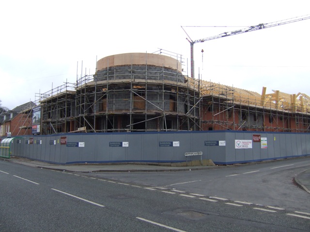
Image: © John M Taken: 21 Nov 2010
Every inch of the site is used. The Prestwood Arms was a 'Locally Listed' inter-war Public House. Image
Images are licensed for reuse under creativecommons.org/licenses/by-sa/2.0
Image Location
Latitude
52.603416
Longitude
-2.097556