Path to Vale of Leven Cemetery
Introduction
The photograph on this page of Path to Vale of Leven Cemetery by Lairich Rig as part of the Geograph project.
The Geograph project started in 2005 with the aim of publishing, organising and preserving representative images for every square kilometre of Great Britain, Ireland and the Isle of Man.

There are currently over 7.5m images from over 14,400 individuals and you can help contribute to the project by visiting https://www.geograph.org.uk
Path to Vale of Leven Cemetery
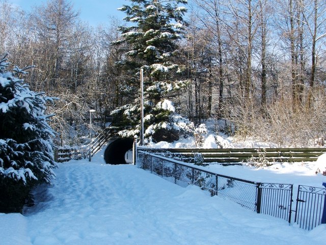
Image: © Lairich Rig Taken: 30 Nov 2010
Compare Image, where the same section of path, viewed in the opposite direction, is shown in the foreground. See also Image, where a signpost, pointing to the left, indicates this path. An Image is visible not far ahead. Beyond the underpass, the route to the cemetery turns off to the right, while a different route, leading uphill towards Image, continues straight ahead. Previous: Image Next: Image
Images are licensed for reuse under creativecommons.org/licenses/by-sa/2.0
Image Location
Latitude
55.980393
Longitude
-4.586791