A452 Europa Way looking north
Introduction
The photograph on this page of A452 Europa Way looking north by Robin Stott as part of the Geograph project.
The Geograph project started in 2005 with the aim of publishing, organising and preserving representative images for every square kilometre of Great Britain, Ireland and the Isle of Man.

There are currently over 7.5m images from over 14,400 individuals and you can help contribute to the project by visiting https://www.geograph.org.uk
A452 Europa Way looking north
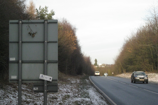
Image: © Robin Stott Taken: 17 Dec 2010
A452 here is Leamington's connection to and from the northwest via M40 at the junction 14. Traffic to and from the southeast via M40 continues past Greys Mallory on the B4100 to junction 13. Europa Way has climbed up from the brook valley west of Bishop's Tachbrook. Greys Mallory island is behind the camera. The landmark Wellingtonia tree on the skyline is at Lower Heathcote Farm Image Barely visible white to its right is the new Gurdwara or Sikh temple Image
Images are licensed for reuse under creativecommons.org/licenses/by-sa/2.0
Image Location
Latitude
52.258062
Longitude
-1.563369