Shelterbelt southeast of 'The Asps'
Introduction
The photograph on this page of Shelterbelt southeast of 'The Asps' by Robin Stott as part of the Geograph project.
The Geograph project started in 2005 with the aim of publishing, organising and preserving representative images for every square kilometre of Great Britain, Ireland and the Isle of Man.

There are currently over 7.5m images from over 14,400 individuals and you can help contribute to the project by visiting https://www.geograph.org.uk
Shelterbelt southeast of 'The Asps'
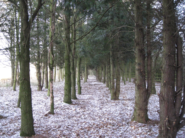
Image: © Robin Stott Taken: 17 Dec 2010
The fence on the right is the highway boundary to A452 Europa Way, beside which an additional tree screen has been planted.
Images are licensed for reuse under creativecommons.org/licenses/by-sa/2.0
Image Location
Latitude
52.258062
Longitude
-1.563369