Path to Hillside Avenue
Introduction
The photograph on this page of Path to Hillside Avenue by Lairich Rig as part of the Geograph project.
The Geograph project started in 2005 with the aim of publishing, organising and preserving representative images for every square kilometre of Great Britain, Ireland and the Isle of Man.

There are currently over 7.5m images from over 14,400 individuals and you can help contribute to the project by visiting https://www.geograph.org.uk
Path to Hillside Avenue
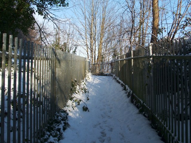
Image: © Lairich Rig Taken: 30 Nov 2010
After passing through a Image, the path to Burnbrae turns right (to the north); that section is shown in the present photograph. From this part of the route, the view to the east, over the railway line, is to the Roads Depot, former site of the Millburn Pyroligneous works; see Image for more information. Previous: Image Next: Image
Images are licensed for reuse under creativecommons.org/licenses/by-sa/2.0
Image Location
Latitude
55.97762
Longitude
-4.586125