Kate Brook valley
Introduction
The photograph on this page of Kate Brook valley by Derek Harper as part of the Geograph project.
The Geograph project started in 2005 with the aim of publishing, organising and preserving representative images for every square kilometre of Great Britain, Ireland and the Isle of Man.

There are currently over 7.5m images from over 14,400 individuals and you can help contribute to the project by visiting https://www.geograph.org.uk
Kate Brook valley
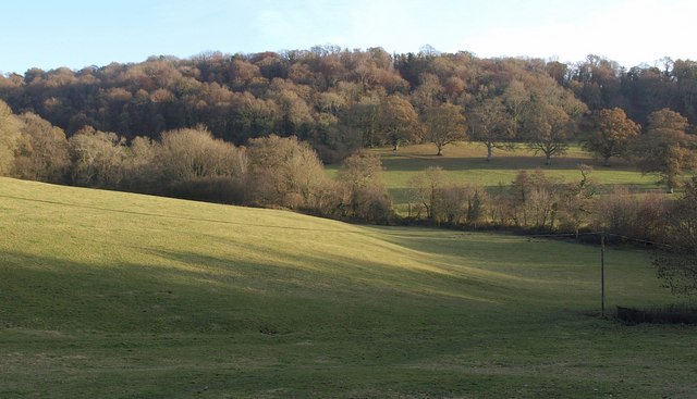
Image: © Derek Harper Taken: 12 Dec 2010
A view from Chudleigh Footpath 14 across Lawell Park, with afternoon sunshine highlighting a sloping terrace on this side of the valley, and a line of oaks following a ride across the park on the other side, with Lawelldown Wood beyond.
Images are licensed for reuse under creativecommons.org/licenses/by-sa/2.0
Image Location
Latitude
50.595298
Longitude
-3.60778