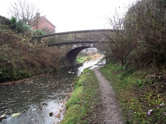
Bridge 76, Morris Bridge
Introduction
The photograph on this page of Bridge 76, Morris Bridge by Jonathan Kington as part of the Geograph project.
The Geograph project started in 2005 with the aim of publishing, organising and preserving representative images for every square kilometre of Great Britain, Ireland and the Isle of Man.
There are currently over 7.5m images from over 14,400 individuals and you can help contribute to the project by visiting https://www.geograph.org.uk

Image: © Jonathan Kington Taken: 15 Dec 2010
Now carrying a footpath over the Macclesfield Canal, Bridge 76 was originally built to allow the horses towing the narrowboats to cross from one side to another without having to release the tow rope (Image). The Macclesfield Canal was one of the last narrow canals to be built and runs approximately 28 miles from Harding's Wood Junction on the Trent and Mersey Canal, along the edge of the western Pennine hills to Marple Junction on the Peak Forest Canal. It was surveyed by Thomas Telford with construction starting in 1826, with William Crosley doing the engineering. The canal opened in November 1831 having cost a total of £320,000.

