Liswerry Pill Reen, Newport
Introduction
The photograph on this page of Liswerry Pill Reen, Newport by Jaggery as part of the Geograph project.
The Geograph project started in 2005 with the aim of publishing, organising and preserving representative images for every square kilometre of Great Britain, Ireland and the Isle of Man.

There are currently over 7.5m images from over 14,400 individuals and you can help contribute to the project by visiting https://www.geograph.org.uk
Liswerry Pill Reen, Newport
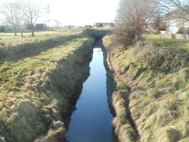
Image: © Jaggery Taken: 15 Dec 2010
Looking towards Corporation Road from a footbridge. http://www.geograph.org.uk/photo/2199162 The reen (drainage channel) empties into the River Usk via Spytty Pill. The arched structure visible in the background is the City Bridge. http://www.geograph.org.uk/photo/557828
Images are licensed for reuse under creativecommons.org/licenses/by-sa/2.0
Image Location
Latitude
51.579673
Longitude
-2.966861