Field near Bellamarsh Barton
Introduction
The photograph on this page of Field near Bellamarsh Barton by Derek Harper as part of the Geograph project.
The Geograph project started in 2005 with the aim of publishing, organising and preserving representative images for every square kilometre of Great Britain, Ireland and the Isle of Man.

There are currently over 7.5m images from over 14,400 individuals and you can help contribute to the project by visiting https://www.geograph.org.uk
Field near Bellamarsh Barton
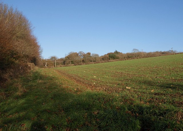
Image: © Derek Harper Taken: 12 Dec 2010
From Kingsteignton Footpath 6 at the top of a short but steep flight of steps up a wooded bank from a track to Bellamarsh Copse, part of which can be seen across two fields.
Images are licensed for reuse under creativecommons.org/licenses/by-sa/2.0
Image Location
Latitude
50.584865
Longitude
-3.620844