Southern end of Queen Victoria Road
Introduction
The photograph on this page of Southern end of Queen Victoria Road by E Gammie as part of the Geograph project.
The Geograph project started in 2005 with the aim of publishing, organising and preserving representative images for every square kilometre of Great Britain, Ireland and the Isle of Man.

There are currently over 7.5m images from over 14,400 individuals and you can help contribute to the project by visiting https://www.geograph.org.uk
Southern end of Queen Victoria Road
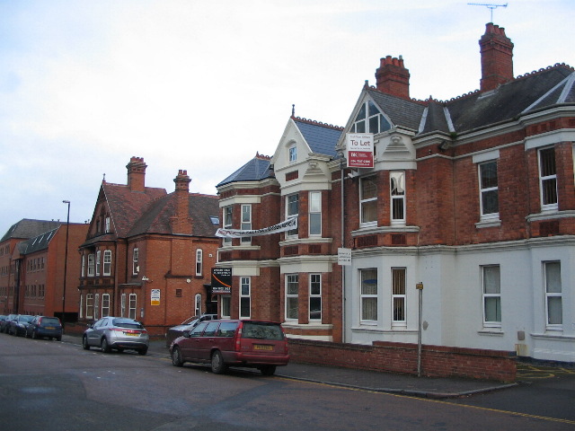
Image: © E Gammie Taken: 15 Dec 2010
Some of the remaining large semi-detached town houses in Queen Victoria Road, now used as offices. The now demolished northern end of the road was of a completely different nature, populated with basic red brick terraced houses.
Images are licensed for reuse under creativecommons.org/licenses/by-sa/2.0
Image Location
Latitude
52.404688
Longitude
-1.516063