Cribbs Causeway to A38 Link Road
Introduction
The photograph on this page of Cribbs Causeway to A38 Link Road by Steve Coffin as part of the Geograph project.
The Geograph project started in 2005 with the aim of publishing, organising and preserving representative images for every square kilometre of Great Britain, Ireland and the Isle of Man.

There are currently over 7.5m images from over 14,400 individuals and you can help contribute to the project by visiting https://www.geograph.org.uk
Cribbs Causeway to A38 Link Road
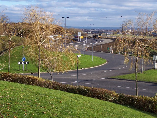
Image: © Steve Coffin Taken: 25 Nov 2010
Taken from a mound beside The Mall carpark the new link road is being completed ready for opening 10 days later.
Images are licensed for reuse under creativecommons.org/licenses/by-sa/2.0
Image Location


Leaflet Map data © OpenStreetMap
Latitude
51.521926
Longitude
-2.59089