Bridge to Bovill Uplands
Introduction
The photograph on this page of Bridge to Bovill Uplands by Glyn Baker as part of the Geograph project.
The Geograph project started in 2005 with the aim of publishing, organising and preserving representative images for every square kilometre of Great Britain, Ireland and the Isle of Man.

There are currently over 7.5m images from over 14,400 individuals and you can help contribute to the project by visiting https://www.geograph.org.uk
Bridge to Bovill Uplands
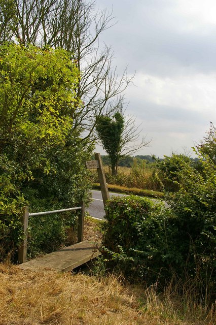
Image: © Glyn Baker Taken: 15 Aug 2006
This footbridge carriers a footpath from the B1018 (in the background) to Bovill Uplands across a ditch.
Images are licensed for reuse under creativecommons.org/licenses/by-sa/2.0
Image Location


Leaflet Map data © OpenStreetMap
Latitude
51.663328
Longitude
0.795157