The Bridge Bar at Burrenbridge
Introduction
The photograph on this page of The Bridge Bar at Burrenbridge by Eric Jones as part of the Geograph project.
The Geograph project started in 2005 with the aim of publishing, organising and preserving representative images for every square kilometre of Great Britain, Ireland and the Isle of Man.

There are currently over 7.5m images from over 14,400 individuals and you can help contribute to the project by visiting https://www.geograph.org.uk
The Bridge Bar at Burrenbridge
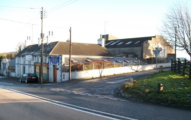
Image: © Eric Jones Taken: 12 Dec 2010
This bar appears to be the last surviving enterprise here at the junction of Burrenbridge Road and the A25. Earlier photographs show in addition a grocery store, a petrol station, a garage and a farm food stuffs mill. Plans to redevelop parts of the mill yard for housing were rejected by the Co Down Council in 2007. Image
Images are licensed for reuse under creativecommons.org/licenses/by-sa/2.0
Image Location
Latitude
54.251025
Longitude
-5.961424