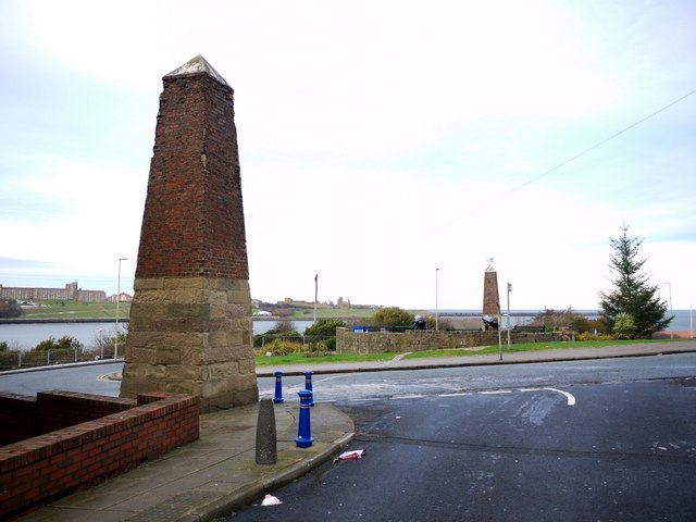
The Lawe Beacons, South Shields
Introduction
The photograph on this page of The Lawe Beacons, South Shields by Andrew Curtis as part of the Geograph project.
The Geograph project started in 2005 with the aim of publishing, organising and preserving representative images for every square kilometre of Great Britain, Ireland and the Isle of Man.
There are currently over 7.5m images from over 14,400 individuals and you can help contribute to the project by visiting https://www.geograph.org.uk

Image: © Andrew Curtis Taken: 10 Dec 2010
Erected as navigational aids in 1832 by John Turnbull at a cost of £60, replacing C18th structures. They complement the High and Low Lights at North Shields. Alignment of the two beacons, shown by a connecting line of cobbles between the two pillars, enabled ships to avoid the dangerous sand bars that were a constant navigation problem at the entrance to the River estuary.

