Bridleway from Summerfield towards Summerway Lane
Introduction
The photograph on this page of Bridleway from Summerfield towards Summerway Lane by Richard Law as part of the Geograph project.
The Geograph project started in 2005 with the aim of publishing, organising and preserving representative images for every square kilometre of Great Britain, Ireland and the Isle of Man.

There are currently over 7.5m images from over 14,400 individuals and you can help contribute to the project by visiting https://www.geograph.org.uk
Bridleway from Summerfield towards Summerway Lane
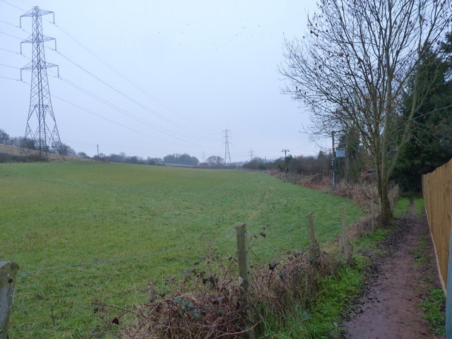
Image: © Richard Law Taken: 14 Dec 2010
The fencing on the right surrounds the site of the Image, a 'tin tabernacle', which has now been demolished, and the site is being built upon.
Images are licensed for reuse under creativecommons.org/licenses/by-sa/2.0
Image Location
Latitude
52.357077
Longitude
-2.234887