Road to Woodbury
Introduction
The photograph on this page of Road to Woodbury by Derek Harper as part of the Geograph project.
The Geograph project started in 2005 with the aim of publishing, organising and preserving representative images for every square kilometre of Great Britain, Ireland and the Isle of Man.

There are currently over 7.5m images from over 14,400 individuals and you can help contribute to the project by visiting https://www.geograph.org.uk
Road to Woodbury
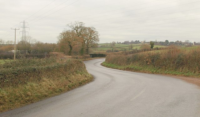
Image: © Derek Harper Taken: 10 Dec 2010
The road from Lympstone makes a double bend as it crosses a minor tributary of the Exton stream and passes under a pylon line.
Images are licensed for reuse under creativecommons.org/licenses/by-sa/2.0
Image Location
Latitude
50.667854
Longitude
-3.415399