Seawall west of Hullbridge
Introduction
The photograph on this page of Seawall west of Hullbridge by John Myers as part of the Geograph project.
The Geograph project started in 2005 with the aim of publishing, organising and preserving representative images for every square kilometre of Great Britain, Ireland and the Isle of Man.

There are currently over 7.5m images from over 14,400 individuals and you can help contribute to the project by visiting https://www.geograph.org.uk
Seawall west of Hullbridge
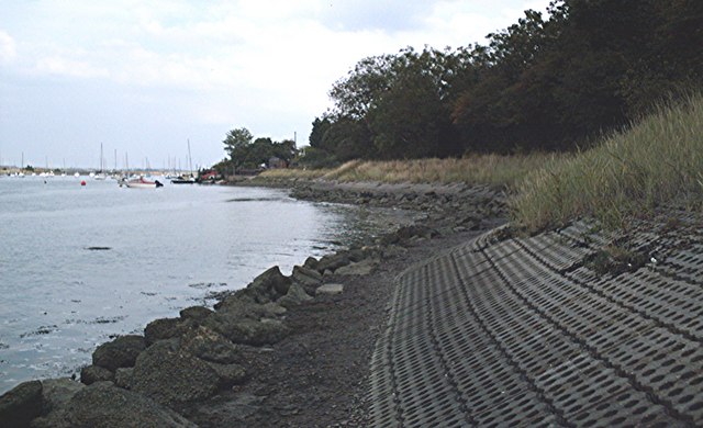
Image: © John Myers Taken: 15 Aug 2006
Footpath to Beeches Farm runs along the top of the sea wall beside a wooded public open space.
Images are licensed for reuse under creativecommons.org/licenses/by-sa/2.0
Image Location
Latitude
51.628394
Longitude
0.609343