Old chapel
Introduction
The photograph on this page of Old chapel by Jonathan Kington as part of the Geograph project.
The Geograph project started in 2005 with the aim of publishing, organising and preserving representative images for every square kilometre of Great Britain, Ireland and the Isle of Man.

There are currently over 7.5m images from over 14,400 individuals and you can help contribute to the project by visiting https://www.geograph.org.uk
Old chapel
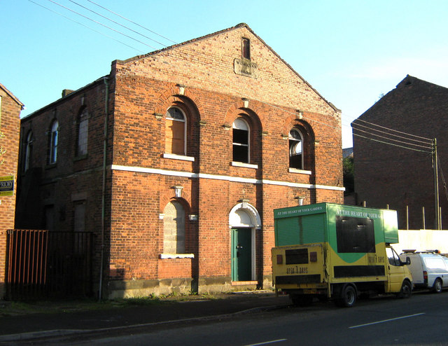
Image: © Jonathan Kington Taken: 24 Nov 2010
This former Wesleyan chapel, built in 1856, stands on Station Road next to Image Late 19th century maps refer to Station Road as Chapel Street and this chapel is marked as Methodist Chapel (Primitive). Sadly it is sliding into a state of dereliction now.
Images are licensed for reuse under creativecommons.org/licenses/by-sa/2.0
Image Location
Latitude
53.120268
Longitude
-2.17611