Pasture by church, near Ash Magna
Introduction
The photograph on this page of Pasture by church, near Ash Magna by Espresso Addict as part of the Geograph project.
The Geograph project started in 2005 with the aim of publishing, organising and preserving representative images for every square kilometre of Great Britain, Ireland and the Isle of Man.

There are currently over 7.5m images from over 14,400 individuals and you can help contribute to the project by visiting https://www.geograph.org.uk
Pasture by church, near Ash Magna
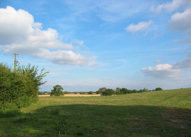
Image: © Espresso Addict Taken: 14 Aug 2006
Flat or gently rolling cattle pasture dominates the gridsquare. View south east from Church Lane, at the start of two footpaths. The arable fields beyond the hedgeline predominantly fall into adjacent gridsquares
Images are licensed for reuse under creativecommons.org/licenses/by-sa/2.0
Image Location


Leaflet Map data © OpenStreetMap
Latitude
52.95661
Longitude
-2.628129