Ferryfield Gardens, Alexandria
Introduction
The photograph on this page of Ferryfield Gardens, Alexandria by Lairich Rig as part of the Geograph project.
The Geograph project started in 2005 with the aim of publishing, organising and preserving representative images for every square kilometre of Great Britain, Ireland and the Isle of Man.

There are currently over 7.5m images from over 14,400 individuals and you can help contribute to the project by visiting https://www.geograph.org.uk
Ferryfield Gardens, Alexandria
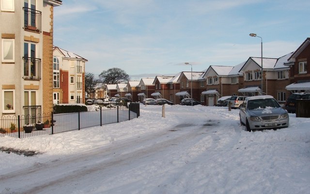
Image: © Lairich Rig Taken: 29 Nov 2010
The picture was taken from the junction with Image; the building at the extreme right in that photograph appears on the left in this one. The Ferryfields development was built c.2005. The name comes from the Ferryfield Print Works which once occupied this area.
Images are licensed for reuse under creativecommons.org/licenses/by-sa/2.0
Image Location
Latitude
55.985777
Longitude
-4.574324