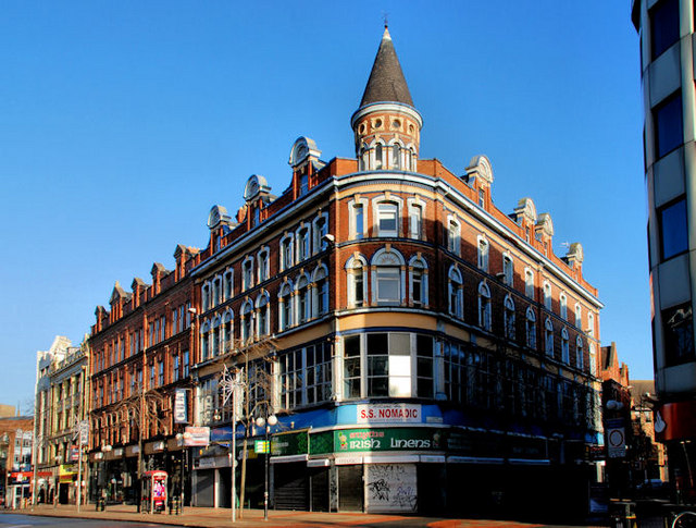
Nos 67-101 Royal Avenue, Belfast
Introduction
The photograph on this page of Nos 67-101 Royal Avenue, Belfast by Albert Bridge as part of the Geograph project.
The Geograph project started in 2005 with the aim of publishing, organising and preserving representative images for every square kilometre of Great Britain, Ireland and the Isle of Man.
There are currently over 7.5m images from over 14,400 individuals and you can help contribute to the project by visiting https://www.geograph.org.uk

Image: © Albert Bridge Taken: 12 Dec 2010
Three buildings, between Lower Garfield Street and North Street (including Image and Image), on the eastern side of Royal Avenue referred to in the “Royal Exchange” planning application as follows: “1532/F Proposed development at lands bounded by nos 31-101 Royal Avenue , Church Street , William Street, Writers Square Nos 40 to 16 Donegall Street No. 2 Waring Street Demolition, redevelopment and part change of use of existing buildings to create mixed use development comprising retail, offices, cafe/bar use, 213 apartments including 10 no. live/work units with associated energy centre and above ground car parking, cultural/arts centre, hotel, 2-level basement car park and associated access and circulation, creation of new streets, reconfiguration of Writers Square, public realm works, landscaping and associated site and road works. Application also comprises works to alter listed buildings, restoration of retained listed buildings and facades and partial demolition of North Street Arcade retaining its facades, partial reconstruction of end blocks and reconstruction of end blocks and reconstruction of rotunda on original location”.

