Trout Farm Bridge
Introduction
The photograph on this page of Trout Farm Bridge by Rob Farrow as part of the Geograph project.
The Geograph project started in 2005 with the aim of publishing, organising and preserving representative images for every square kilometre of Great Britain, Ireland and the Isle of Man.

There are currently over 7.5m images from over 14,400 individuals and you can help contribute to the project by visiting https://www.geograph.org.uk
Trout Farm Bridge
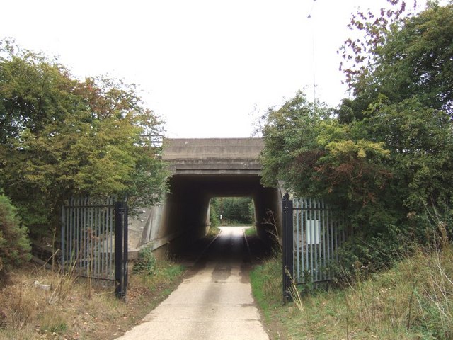
Image: © Rob Farrow Taken: 15 Aug 2006
This bridge under the M1 gives access to Home Farm with its lake and Trout Farm. This photo was taken from the Trout Farm side looking back to the track's junction with a lane on the far side of the motorway. The farm is well protected with hefty gates and surveillance cameras.
Images are licensed for reuse under creativecommons.org/licenses/by-sa/2.0
Image Location
Latitude
51.988118
Longitude
-0.533497