Footpath to Beenham
Introduction
The photograph on this page of Footpath to Beenham by Graham Horn as part of the Geograph project.
The Geograph project started in 2005 with the aim of publishing, organising and preserving representative images for every square kilometre of Great Britain, Ireland and the Isle of Man.

There are currently over 7.5m images from over 14,400 individuals and you can help contribute to the project by visiting https://www.geograph.org.uk
Footpath to Beenham
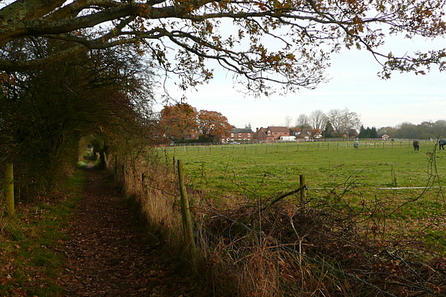
Image: © Graham Horn Taken: 28 Nov 2010
South of the village there are a few paddocks on the first really flat land above the Kennet valley. This right of way is a footpath though, not a bridleway.
Images are licensed for reuse under creativecommons.org/licenses/by-sa/2.0
Image Location
Latitude
51.413421
Longitude
-1.161653