Paddocks at Flackwell Heath
Introduction
The photograph on this page of Paddocks at Flackwell Heath by Graham Horn as part of the Geograph project.
The Geograph project started in 2005 with the aim of publishing, organising and preserving representative images for every square kilometre of Great Britain, Ireland and the Isle of Man.

There are currently over 7.5m images from over 14,400 individuals and you can help contribute to the project by visiting https://www.geograph.org.uk
Paddocks at Flackwell Heath
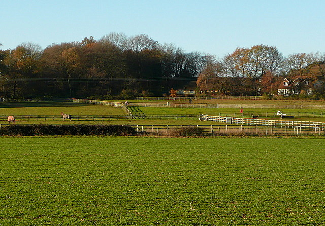
Image: © Graham Horn Taken: 5 Dec 2010
At the south end of the village the houses suddenly stop and there is a series of paddocks before the arable farmland. Conveniently there is also a bridleway running along the nearest field boundary.
Images are licensed for reuse under creativecommons.org/licenses/by-sa/2.0
Image Location
Latitude
51.589075
Longitude
-0.702282