Bend in the road: the A283 at Chiddingfold
Introduction
The photograph on this page of Bend in the road: the A283 at Chiddingfold by Stefan Czapski as part of the Geograph project.
The Geograph project started in 2005 with the aim of publishing, organising and preserving representative images for every square kilometre of Great Britain, Ireland and the Isle of Man.

There are currently over 7.5m images from over 14,400 individuals and you can help contribute to the project by visiting https://www.geograph.org.uk
Bend in the road: the A283 at Chiddingfold
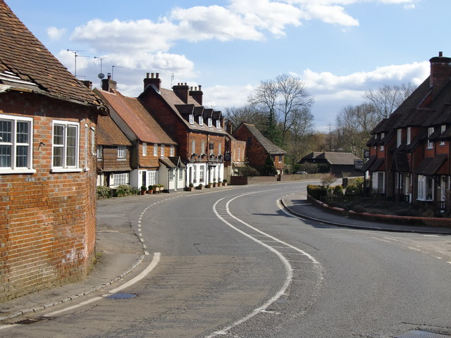
Image: © Stefan Czapski Taken: 15 Mar 2010
Looking south along the A283 towards Petworth. Along the road, a string of typical Surrey tile-hung cottages. Out of shot to the left, the Crown Inn. In the left foreground, the cleverly named 'Half Crown'.
Images are licensed for reuse under creativecommons.org/licenses/by-sa/2.0
Image Location
Latitude
51.108239
Longitude
-0.62937