View from Cattal bridge
Introduction
The photograph on this page of View from Cattal bridge by Gordon Hatton as part of the Geograph project.
The Geograph project started in 2005 with the aim of publishing, organising and preserving representative images for every square kilometre of Great Britain, Ireland and the Isle of Man.

There are currently over 7.5m images from over 14,400 individuals and you can help contribute to the project by visiting https://www.geograph.org.uk
View from Cattal bridge
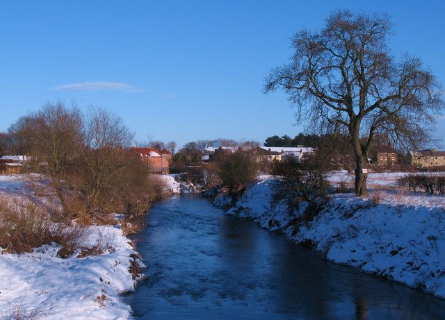
Image: © Gordon Hatton Taken: 8 Dec 2010
Looking downstream along the River Nidd from Cattal Bridge. The Nidd is quite narrow at this point [compare with Knaresborough several miles upstream] and is contained between high banks. With water levels low during a period of freezing weather it is difficult to imagine the river in flood when it overtops these banks.
Images are licensed for reuse under creativecommons.org/licenses/by-sa/2.0
Image Location


Leaflet Map data © OpenStreetMap
Latitude
53.980928
Longitude
-1.317449