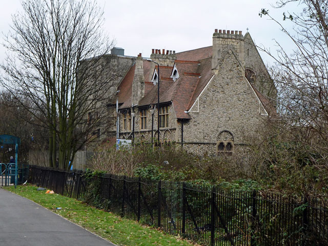
St Andrew's Church, E13
Introduction
The photograph on this page of St Andrew's Church, E13 by Robin Webster as part of the Geograph project.
The Geograph project started in 2005 with the aim of publishing, organising and preserving representative images for every square kilometre of Great Britain, Ireland and the Isle of Man.
There are currently over 7.5m images from over 14,400 individuals and you can help contribute to the project by visiting https://www.geograph.org.uk

Image: © Robin Webster Taken: 11 Dec 2010
This view is mainly of the vicarage. The site is very cramped, with a former church school hard up against the church at the other end. The site is now rather obscured by trees, and even the best view of the church from St Andrew's Road is mysteriously missing from Google Street View. The site was sold in the 1970s to "a US Free Church", but little further can be found out, other than that one reference says the congregation is now meeting elsewhere. Victorian, all buildings on the site are grade II listed.

