The Old Vine - Vauxhall Avenue
Introduction
The photograph on this page of The Old Vine - Vauxhall Avenue by John M as part of the Geograph project.
The Geograph project started in 2005 with the aim of publishing, organising and preserving representative images for every square kilometre of Great Britain, Ireland and the Isle of Man.

There are currently over 7.5m images from over 14,400 individuals and you can help contribute to the project by visiting https://www.geograph.org.uk
The Old Vine - Vauxhall Avenue
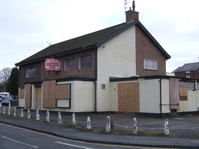
Image: © John M Taken: 11 Dec 2010
Planning permission has been given for conversion to flats.
Images are licensed for reuse under creativecommons.org/licenses/by-sa/2.0
Image Location
Latitude
52.587994
Longitude
-2.14505