Manhole cover, Bangor
Introduction
The photograph on this page of Manhole cover, Bangor by Rossographer as part of the Geograph project.
The Geograph project started in 2005 with the aim of publishing, organising and preserving representative images for every square kilometre of Great Britain, Ireland and the Isle of Man.

There are currently over 7.5m images from over 14,400 individuals and you can help contribute to the project by visiting https://www.geograph.org.uk
Manhole cover, Bangor
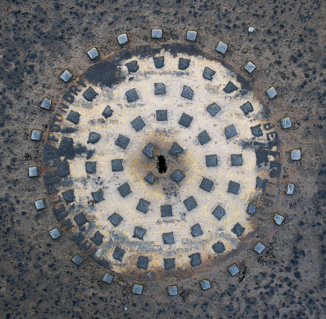
Image: © Rossographer Taken: 11 Dec 2010
Another manhole cover from the Millfield Foundry in Belfast, this time located on the Southwell Road in Bangor. Unlike most other examples, this one carries the date 1931 as well as the usual foundry inscription.
Images are licensed for reuse under creativecommons.org/licenses/by-sa/2.0
Image Location
Latitude
54.659916
Longitude
-5.671159